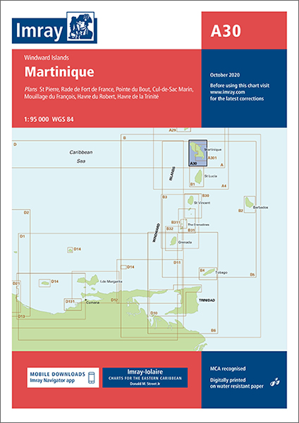
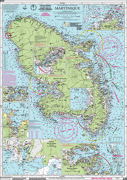
Imray-Iolaire charts for Caribbean are widely acknowledged as the best available for the cruising sailor. They combine the latest official survey data with first-hand information gathered over 60 years of research by Don Street Jr and his wide network of contributors. Like all Imray charts, they are printed on water resistant Pretex paper for durability, and they include many anchorages, facilities and inlets not included on official charts.
Plans included:
St Pierre (1:20 000)
Rade de Fort de France (1:15 000)
Pointe du Bout (1:35 000)
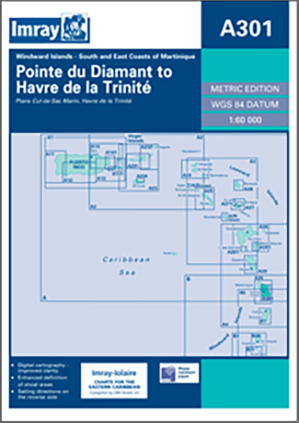
Cul-de-Sac Marin (1:35 000)
Mouillage du François (1:50 000)
Havre du Robert (1:45 000)
Havre de la Trinité (1:30 000)
On this edition the chart specification has been improved to show coloured light flashes. The plan of Rade de Fort de France has been reschemed to include coverage of Marina L’Etang Z’Abricots. There has been general updating throughout.