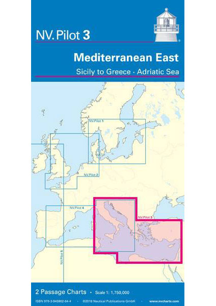
The Pilot 3 is suitable as a planning chart for cruises in the eastern part of the Mediterranean. The coasts of Croatia and Greece are completely covered. In addition, the east coast of Italy is completely and the west coast of Italy almost completely included. The Mediterranean coast of Turkey and Cyprus can also be found in this oversailer.
This folding chart consists of two overview charts:
Chart 1, scale 1: 1.75 million> Tire Sea, Adriatic Sea, Ionian Sea and waters south of Sicily to the coast of Tunisia
Chart 2, scale 1: 1.75 million> Eastern Mediterranean to 17 ° East (Calabria, Punta Stilo)
The beacons and routes, including distances, that are important for planning the passage are shown on both charts. The terms are in English.
The chart is in A1 format, folded approx. 15 x 30 cm.